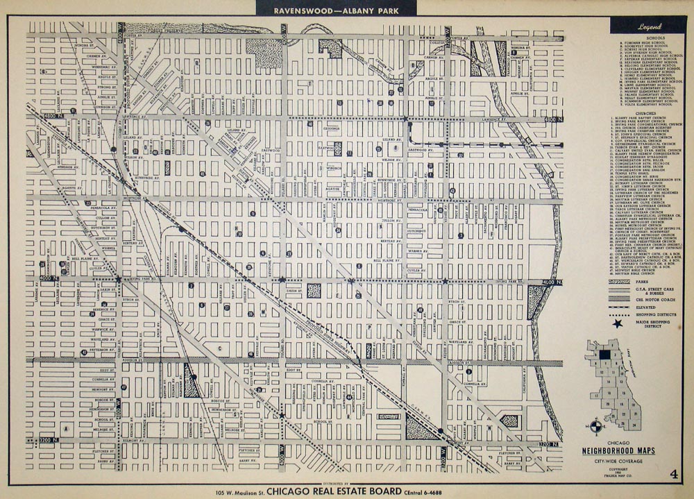
(Illinois- Chicago Neighborhoods) Ravenswood - Albany Park
From a set of maps printed for the Chicago Real Estate Board, this post WWII era map shows a section of the changing city. Showing the grid of the neighborhood, its streets, railroads, and parks, it also shows some larger businesses, and two exhaustive keys note all the churches of the area, as well as schools.
This map shows the area of Ravenswood and Albany Park, and spans from Barry Ave. and California Ave., up to Foster Ave and Laramie Ave.
Condition is very good. Image size is approximately 10.5 x 14.75 (inches)