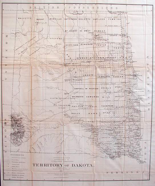
Territory of Dakota
With counties primitively established east of the Missouri River, this large map for the Dakota territory shows the progress of the survey. There are few towns and place-names, likewise, only one railroad right of way is shown reaching to Bismark and on to the West. Large native tracts still exist. The Black Hills are reasonably articulated , thanks to Ludlow.
Light discoloration on the folds, otherwise condition is very good. Image size is 29 X 24.5 (inches). Uncolored as issued.