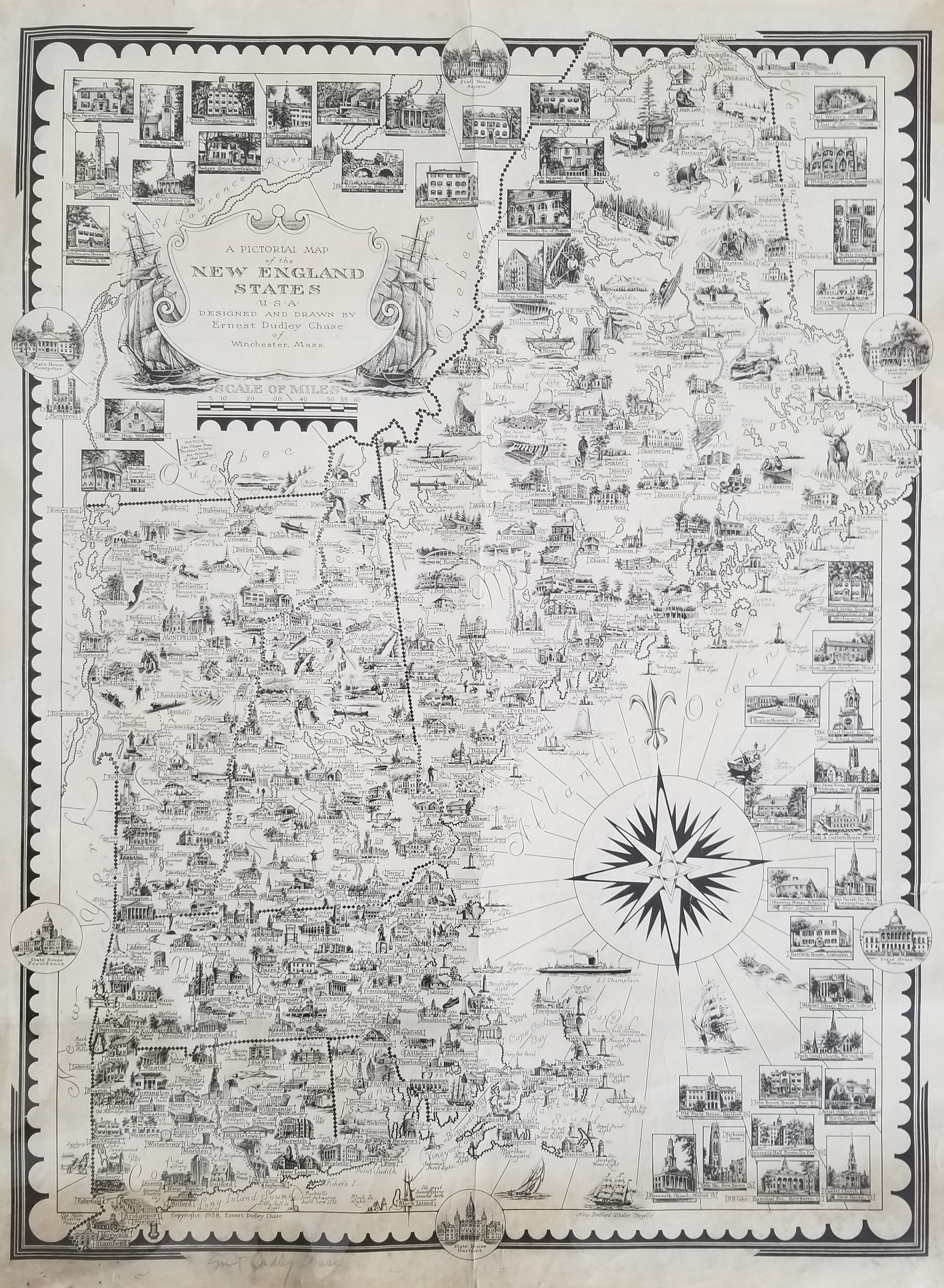
A Pictorial Map of the New England States..., Ernest Dudley Chase, 1938
Looking at the greater region that Chase had known since his childhood, this densely illustrated map includes Connecticut, Rhode Island, Massachusettes, Vermont, New Hampshire and Maine. A feast for the eye .SIGNED
Condition is fair with some light staining at the bottom, repairs, misfolds. Image size is approximately 23.5 x 17.5 (inches) $170.00