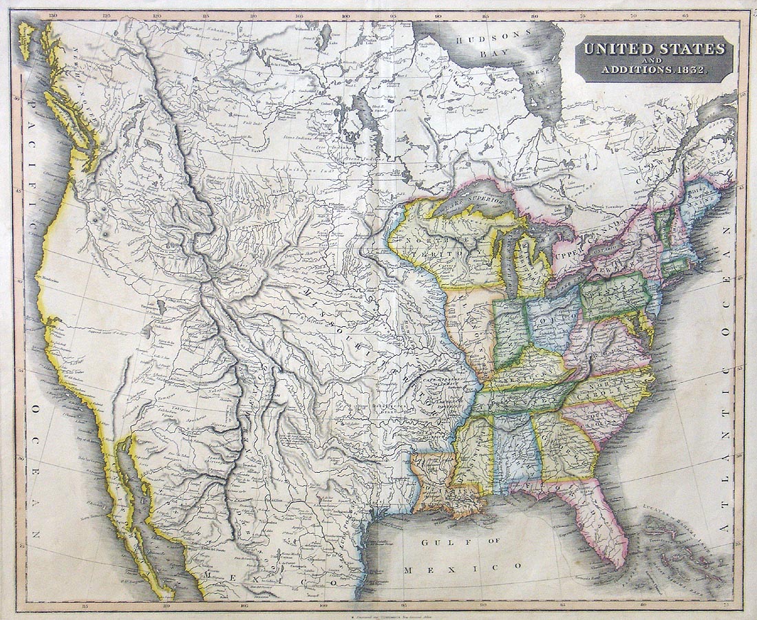
(US) United States and Additions, 1832.
Based on a map that Thomson first published in 1817 of the nation, this is final edition updated to 1832. A crisp engraving, with bold original outline hand color it spans from coast to coast and includes many interesting notations on the evolving country. West of the Mississippi River is the vast "Missouri Territory" which is dense with noations for native tribes and their villages, as well as uncommon notations for the land districts ("Howard District", "Cape Girardeau District", etc). Does note the Dominguez-Escalante Route eminating from Santa Fe, through the West and back, noting many placenames as it goes. Also shows a potential River of the West crossing the Great Basin and emptying into the bays above San Francisco. A beautiful and dramatic map.
Condition is very good with some very light off setting. Image size is approximately 20 x 24 (inches),